

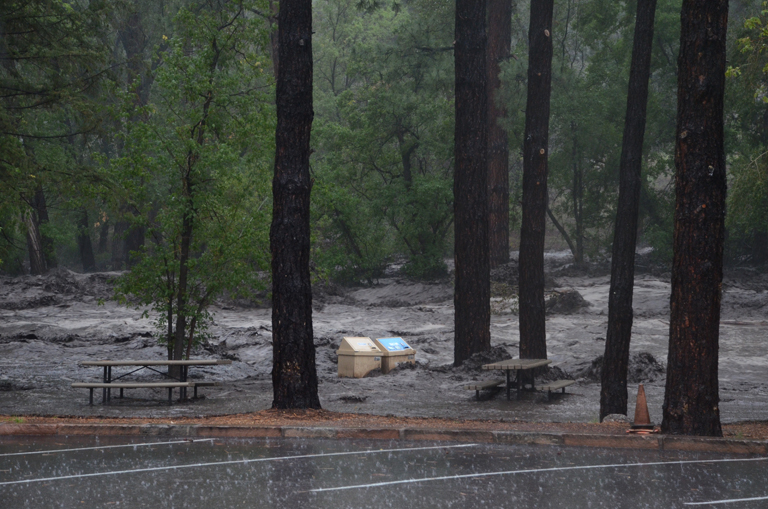
Flooding in Bandelier National Monument. Photo by Sally King
Impacts of September 2013 Flooding in New Mexico story map focuses on the impacts of the rain event that took place between September 10 and 18, 2013 that caused extensive flooding and record stream flows across the State resulting in two Presidential Disaster Declarations totaling more than $18 million.
This map is developed by the Earth Data Analysis Center (EDAC) in coordination with the United States Army Corp of Engineers (USACE) – Albuquerque Division, National Weather Service (NWS), New Mexico Floodplain Managers Association (NMFMA), and New Mexico Department of Homeland Security and Emergency Management (NMDHSEM).
View in Full Screen