Implementing Web AppBuilder for ArcGIS at the City of Rio Rancho

corr dev webappbuilder

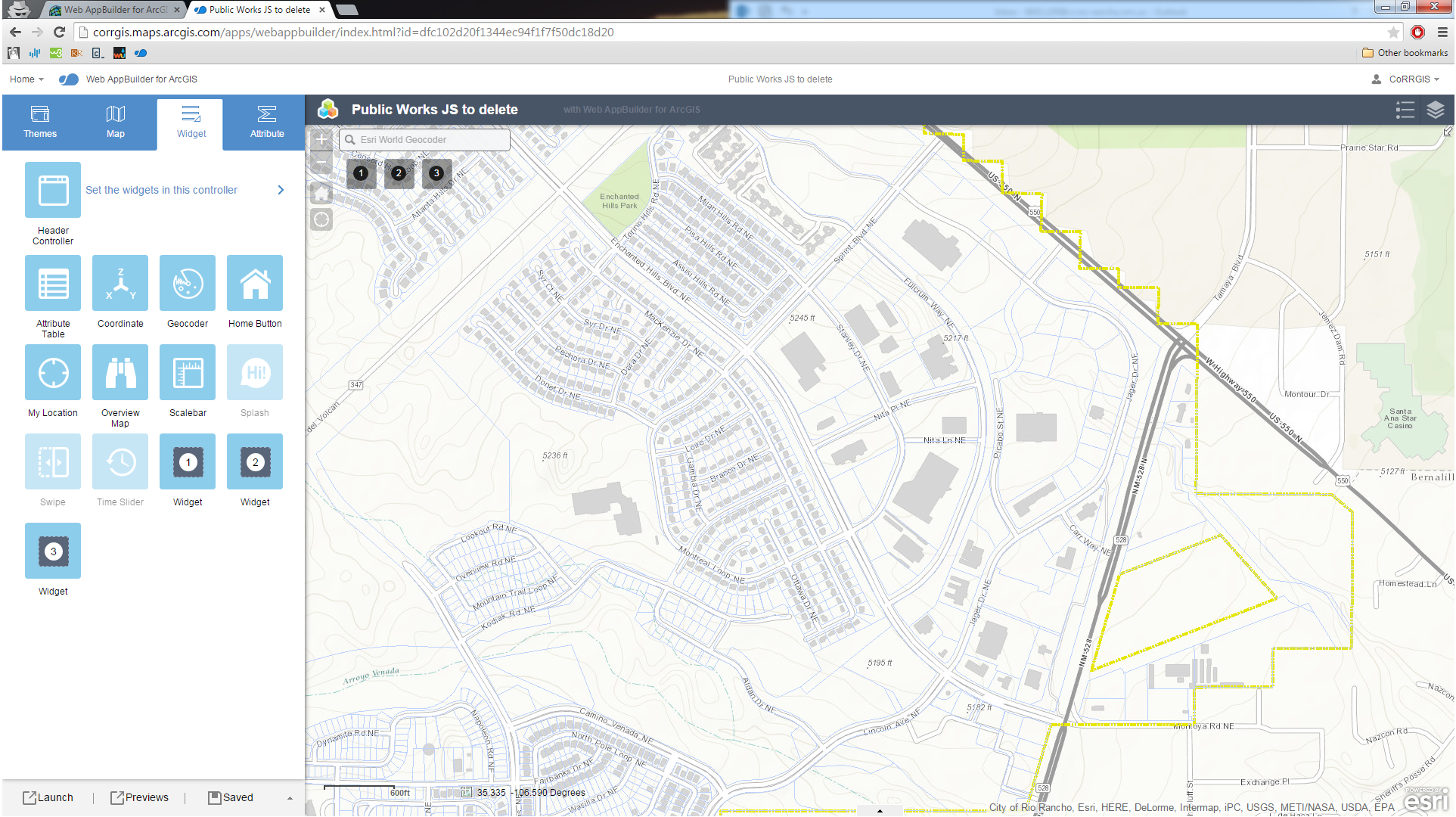
In the summer of 2014 the City of Rio Rancho’s GIS section began beta testing the ArcGIS Web Application builder. The builder creates a simple foundation for the deployment of HTML/JavaScript applications that can be hosted either by ESRI (via ArcGIS Online) or on your local webserver. The City had… Continue reading

Impacts of September 2013 Flooding in New Mexico – A Story Map

Impacts of September 2013 Flooding in New Mexico story map focuses on the impacts of the rain event that took place between September 10 and 18, 2013 that caused extensive flooding and record stream flows across the State resulting in two Presidential Disaster Declarations totaling more than $18 million. This… Continue reading

Did You Know? – ArcHydro

ArcHydro

ESRI made a free ArcGIS extension—ArcHydro—useful for water resources applications, including analyzing hydrology and watershed models. It can be used to delineate watersheds with either raster or vector data, analyze hydro networks and terrain, perform attribute-based tracing, and export numerical data models. Nine tools are found in an Arc Hydro… Continue reading