Twitter YouTube
Skip to content
  • About
  • Get Data
  • Web Services
  • FAQ
  • GIS in Practice
  • Resources
  • Glossary
  • Donate

Tag Archives: Blackdom

Blackdom: The First All-Black Settlement in New Mexico – A Story Map

  March 9, 2015 GIS In Practice
Blackdom

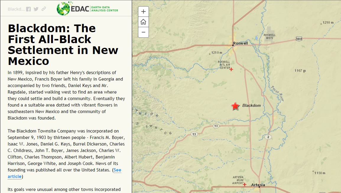
The Blackdom Story Map highlights the history of a little known event  in New Mexico History. The first all-black settlement in New Mexico was incorporated in 1903 and occupied until the mid-1920s by up to 300 people. Blackdom had a school, post office and several churches during this time. This … Continue reading

Tagged   Blackdom, Historic, New Mexico, PLSS, Story Map
  • RGIS News

    • RGIS Funding
    • New Mexico Lidar Data Status Map
    • RGIS – New Data Portal
    • DEM Analysis – The many uses and derivatives of a Digital Elevation Model
    • Clandestine Meth Labs in New Mexico
    • Using Leaflet JS to map mines in and around New Mexico
    • Implementing Web AppBuilder for ArcGIS at the City of Rio Rancho
    • Updating Archeological Site Field Data Collection Methods to Twenty First Century
    • Up in Flames: Creating Defensible Spaces to Reduce Wildfire Damage
    • NM WRRI Acquires PRISM Climate Data
  • Tag Cloud

    Animas River Spill ArcGIS archeology Baseline Blackdom Cadastral City of RioRancho Climate data collection DEA Defensible Spaces Drought ESRI Flood geojson Ghost Town GIS Tips Groundwater Harvey House Historic Imagery JavaScript LeafletJS Meth Labs Mines Model Builder NAIP New Mexico NMTRD NM WRRI PLSS Principal Meridian PRISM QGIS Reservoir RGIS Section SNOTEL Snow cover Story Map Township USGS Water Web AppBuilder Wildfire
  • Archives

  • Earth Data Analysis Center/RGIS Support Fund

  • Tweets by @nmrgis
All content Copyright © 2015 by the Earth Data Analysis Center, University of New Mexico
Phone: (505) 277-3622, Email: clearinghouse@edac.unm.edu
Powered by Paяabola & WordPress.
Twitter YouTube