In the summer of 2014 the City of Rio Rancho’s GIS section began beta testing the ArcGIS Web Application builder. The builder creates a simple foundation for the deployment of HTML/JavaScript applications that can be hosted either by ESRI (via ArcGIS Online) or on your local webserver. The City had a need to consolidate its existing deployment of flex and ArcGIS Online applications into a simple and easy to access app for each department that could be viewed on any device in the office or out in the field.
Like many organizations, the City does not have the budget to staff a full time developer/programmer. So having the ability to create an in depth application quickly and without cost was a huge asset.
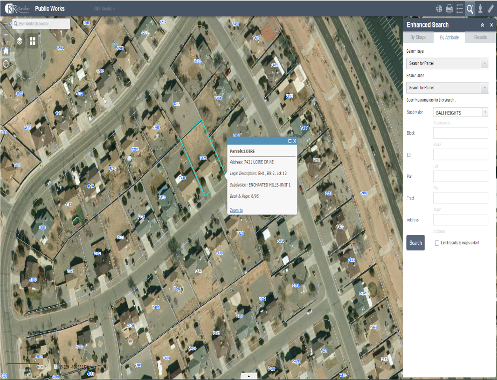
The number of widgets available for applications is vast, and there is an ever growing community of developers making new tools every day. Below is an example of our Public Works application showing the enhanced search widget, allowing our staff to search for parcels based on legal description or address.
The interface for the builder has improved greatly in the last year, and is very simple to download and run. You can also use a scaled down version within ArcGIS Online when you share a newly created web map.
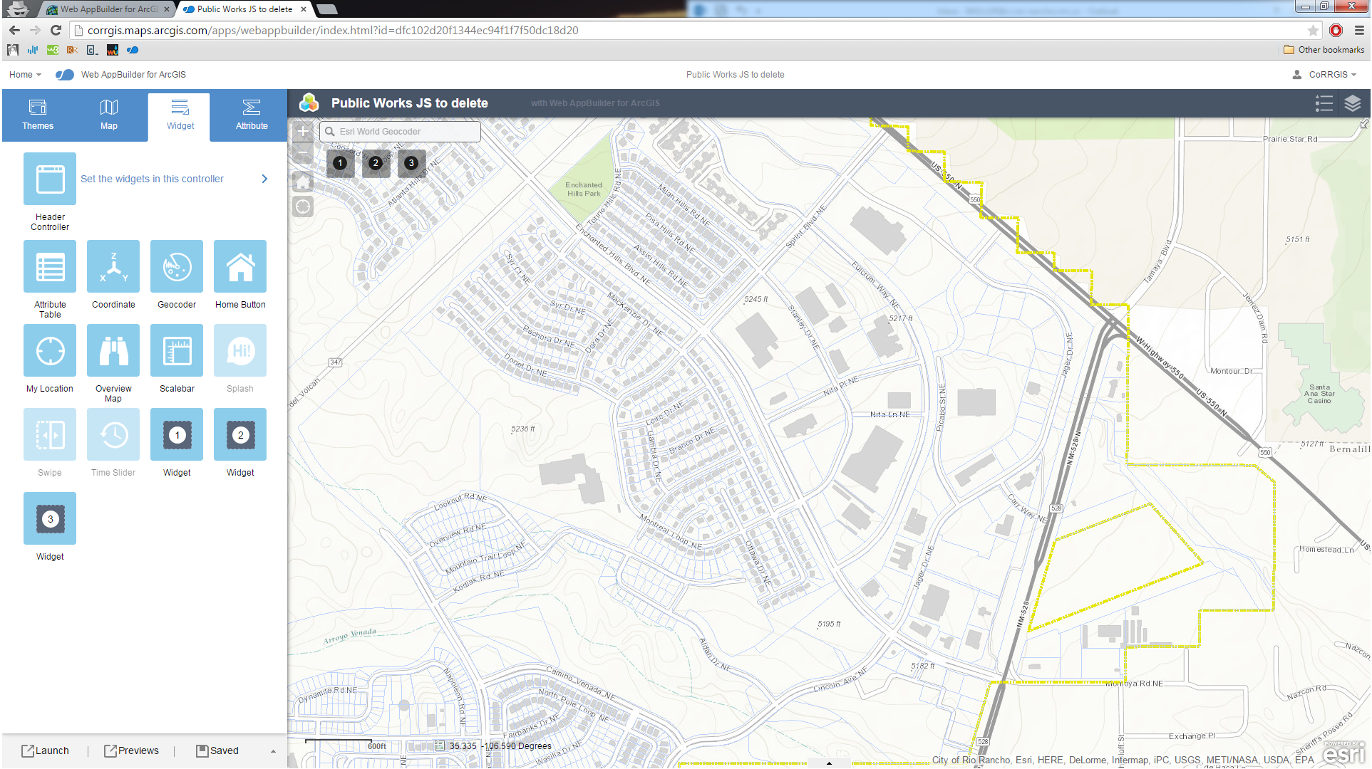
Below is an example of the developer version, which must be downloaded and run on your desktop/server. The developer environment allows the user to incorporate custom widgets, created by everyday users and developers.

A screenshot of Web AppBuilder developer version
Without these tools, our ability to deliver GIS data is limited, but now, using only internal staffing and minimal budget, we can push our data out to not only our staff, but to the public as well.
Brian Keller | GIS Administrator, CFM
City of Rio Rancho, NM
3200 Civic Center Cir NE
Rio Rancho, NM | 87144 | USA
T (505) 896-8772 | F (505) 891-5203
bkeller@ci.rio-rancho.nm.us
www.ci.rio-rancho.nm.us/gis


