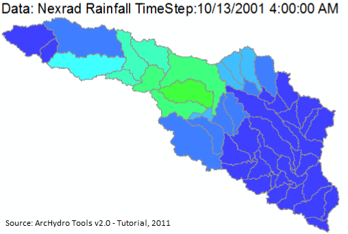
ESRI made a free ArcGIS extension—ArcHydro—useful for water resources applications, including analyzing hydrology and watershed models. It can be used to delineate watersheds with either raster or vector data, analyze hydro networks and terrain, perform attribute-based tracing, and export numerical data models. Nine tools are found in an Arc Hydro Tools toolbar, and the rest can be accessed from ArcToolbox. Some but not all of the tools require the Spatial Analyst extension. You can get it here.


