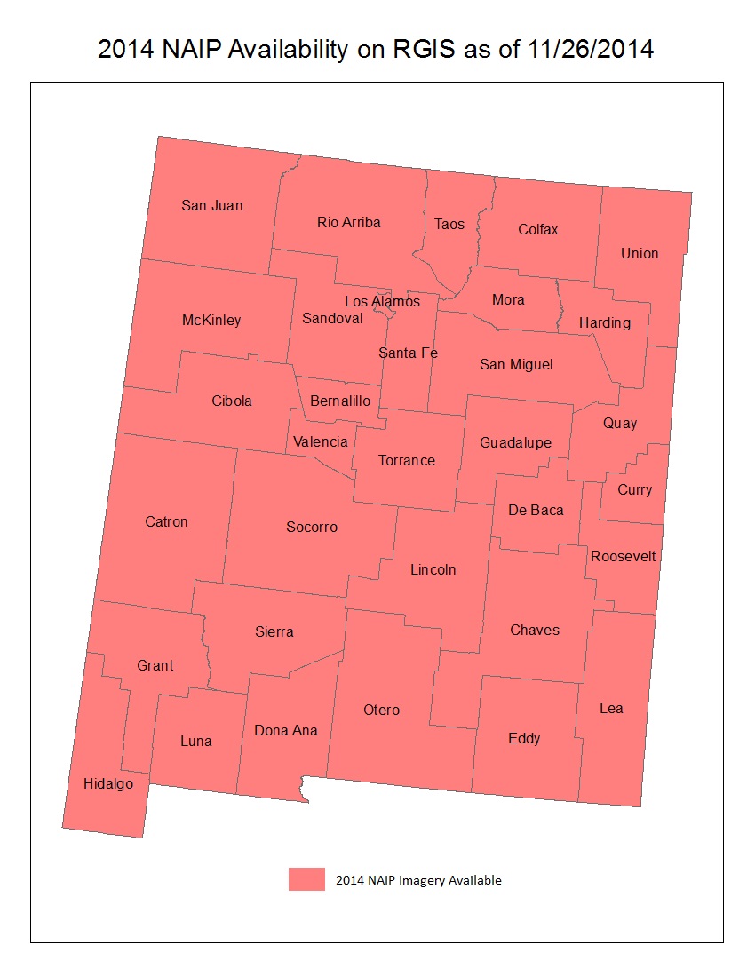
2014 NAIP County Mosaics Now Available

The statewide 2014 National Agricultural Imagery Program (NAIP) 1 meter aerial photography is now available for download. The imagery data are available as Mr. Sid compressed county mosaics (CCM). RGIS also serves polygons that delineate the seamline boundaries of the NAIP imagery that are used in creating these CCMs. To… Continue reading


