New Mexico Public Land Survey System (PLSS) Finder
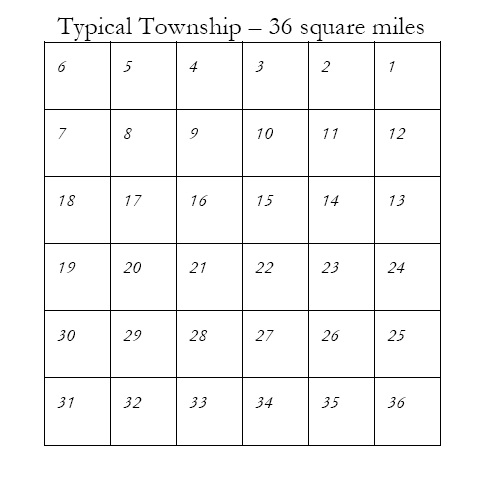
Township with Section Numbers

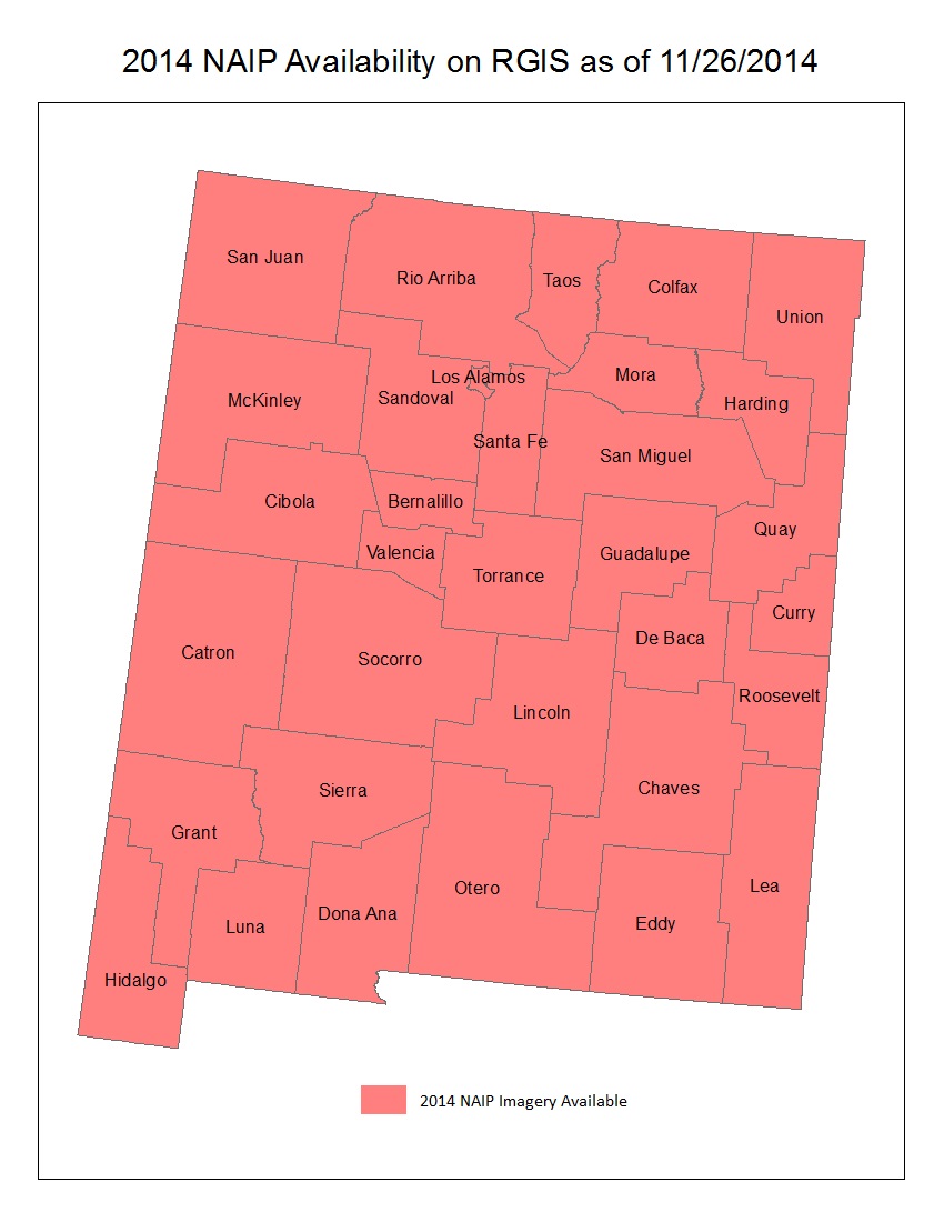
Have you had problems locating a particular section or quarter section? Do you want to know the Township, Range and Section number for your house? If so, the New Mexico PLSS finder application will help you. It lets you enter the Township and Section number and then identifies your area… Continue reading

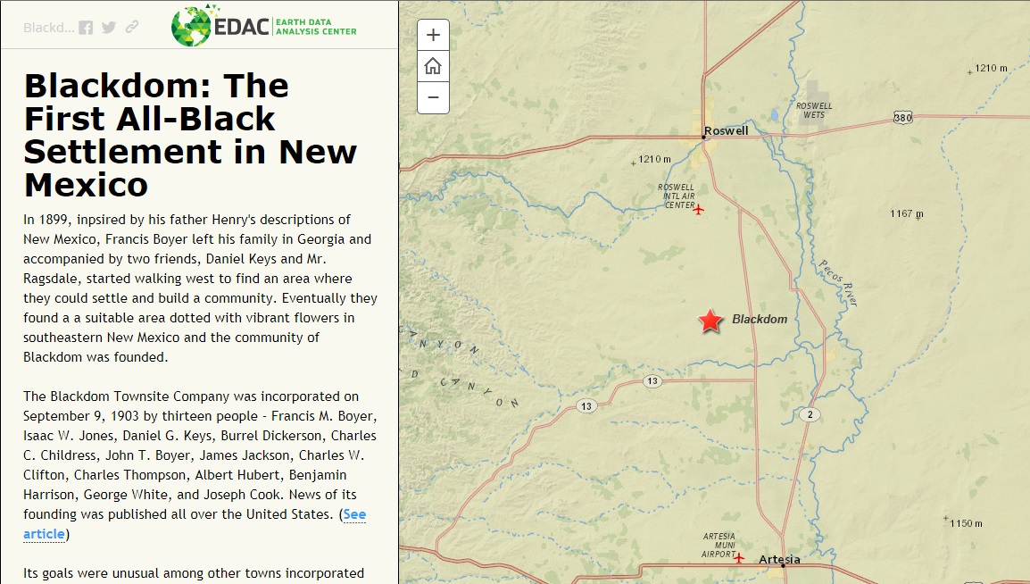
Blackdom: The First All-Black Settlement in New Mexico – A Story Map

Blackdom

The Blackdom Story Map highlights the history of a little known event  in New Mexico History. The first all-black settlement in New Mexico was incorporated in 1903 and occupied until the mid-1920s by up to 300 people. Blackdom had a school, post office and several churches during this time. This… Continue reading

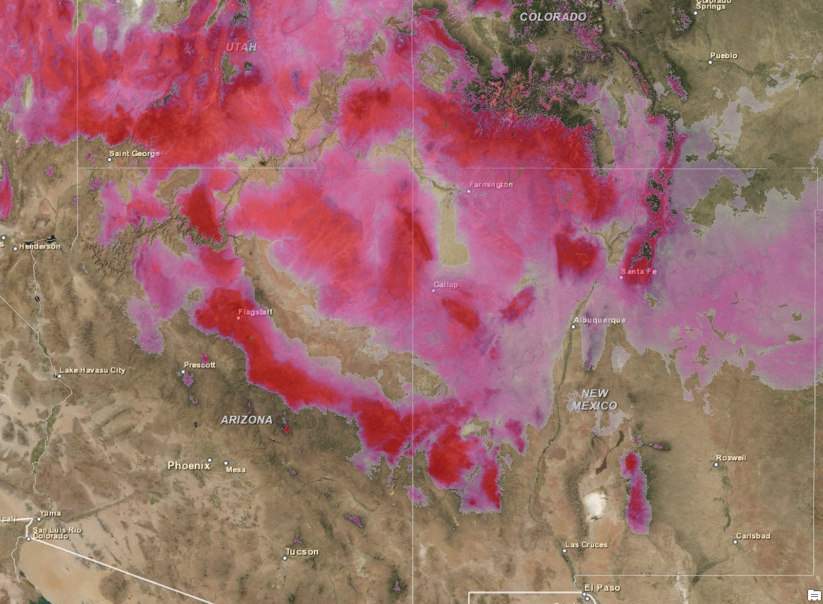
Changes in Snow Cover and Snow Water Equivalence in the Southwest

In February 2014, Earth Data Analysis Center received a request from the U.S. Senator Martin Heinrich’s office to determine the shrinking state of snow-pack in New Mexico. Our Remote Sensing Specialist performed data analysis using the satellite image data obtained from the National Operational Hydrologic Remote Sensing Center (NOHRSC) at… Continue reading

Impacts of September 2013 Flooding in New Mexico – A Story Map

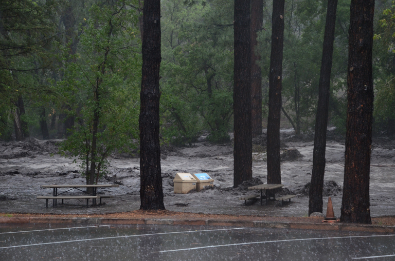
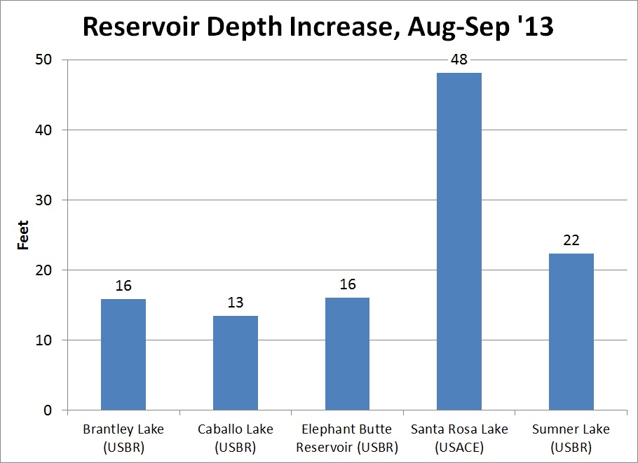
Impacts of September 2013 Flooding in New Mexico story map focuses on the impacts of the rain event that took place between September 10 and 18, 2013 that caused extensive flooding and record stream flows across the State resulting in two Presidential Disaster Declarations totaling more than $18 million. This… Continue reading

Did You Know? – ArcHydro

ArcHydro

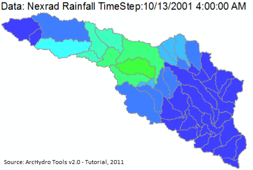
ESRI made a free ArcGIS extension—ArcHydro—useful for water resources applications, including analyzing hydrology and watershed models. It can be used to delineate watersheds with either raster or vector data, analyze hydro networks and terrain, perform attribute-based tracing, and export numerical data models. Nine tools are found in an Arc Hydro… Continue reading